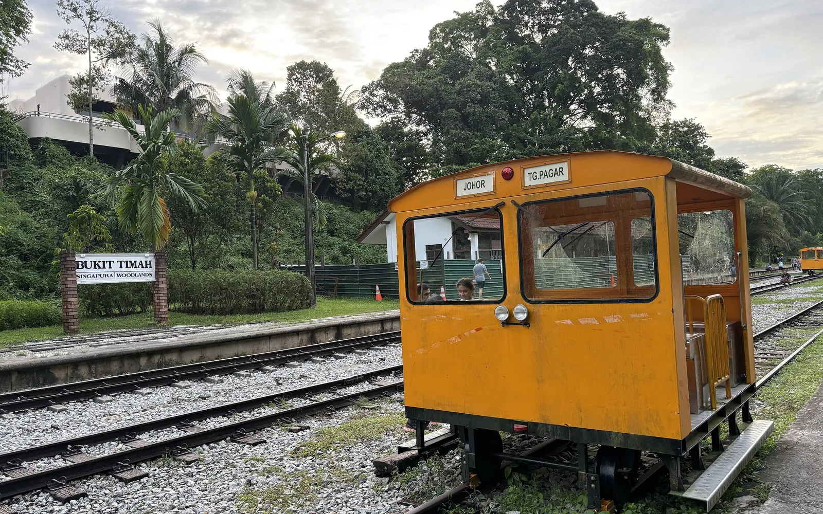
KTM trains to Tanjong Pagar ran past the little platform at Bukit Timah Railway Station for almost 80 years, until train services between Woodlands and Tanjong Pagar ended in 2011. Since July 2022 — when NParks reopened the restored 1932 station building — anyone can visit. For a first trip, we’d treat the station as the outing and the trail as an optional extra.
We’d especially suggest this if someone in your group — a six-year-old, say, or a grandparent with dodgy knees — tires after half an hour. A long corridor hike is out. An hour at the old station plus 20 minutes on the trail is very doable.
Getting to Bukit Timah Railway Station
Take the Downtown Line to King Albert Park and leave by Exit A. From there it’s roughly a five-minute walk along Bukit Timah Road to the landscaped entrance (NParks’ visitor guide maps this approach). There’s no carpark.
NParks lists the node as wheelchair accessible. That covers the station grounds, not necessarily the route from the MRT or your chosen stretch of trail — check both if someone needs step-free access throughout.
What to See at the Old Station
In our view, the restored track-switching levers are the highlight inside the station building. The old ticketing booth is there too. The Signal Room can only be viewed from its doorway. Next door, the former Railway Staff Quarters now house a café.
Outside are the Kampung Garden and the Herb and Spice Garden, plus a sheltered rest area with toilets. Children may enjoy looking at the levers while you explain that trains bound for Tanjong Pagar once rolled past this platform. Anyone who needs a break can sit in the shade. Most first-timers, we suspect, could stop here and still feel the trip was worth it.
Choosing a Short Walk
With a mixed group, we’d walk out and come back the same way. Agree on a turnaround point before you set off — a bridge you’ve spotted on the map, or simply “15 minutes, then we turn” — and save enough energy for the return leg.
If you’d rather end at a different road, find that exit and its nearest bus stop first. A road that looks close on the map may have no way in from the trail.
South of Rifle Range Road the trail is bound aggregate, a firmer compacted surface. North of it you’ll find grass and gravel, which can turn soft after an afternoon downpour. Slippers are a bad idea there. Cyclists and runners share the path, so keep left and step aside if you want a photo — and if you spot a monitor lizard or long-tailed macaques, give them a wide berth.
Closures, Weather and Daylight
Since 9 March 2026, trail improvement works have closed the southern stretch between Henderson Road and Spooner Road. NParks gives 31 July 2027 as the expected completion date. Bukit Timah is nowhere near it. Anyone following an older end-to-end itinerary from Tanjong Pagar, though, will be sent on a detour along Jalan Bukit Merah, so check NParks’ current Rail Corridor map before you go.
Much of the corridor is deliberately left unlit so nocturnal wildlife can move about. Aim to be off the trail before nightfall. When a storm rolls in, NParks advises seeking shelter and staying out of forested areas during it and immediately after. On a properly wet day, our indoor afternoon guide is the better bet.
Is a Short Visit Enough?
For most groups with young children or older relatives, yes. Our rough rule: if anyone can’t comfortably walk 40 minutes, stay within 20 minutes of the station and turn back. That’s enough time to see the levers, have a drink at the café and catch the train home before anyone flags — with the rest of the 24-kilometre corridor saved for another weekend.